
50% Off Your Next Trip. Hurry Up For your new Tour! Book Your Tour

Bali Pass

Rs. 21000/

per person
  • 8 Days / 7 Night
  • Max People : 40
  • Bali Pass

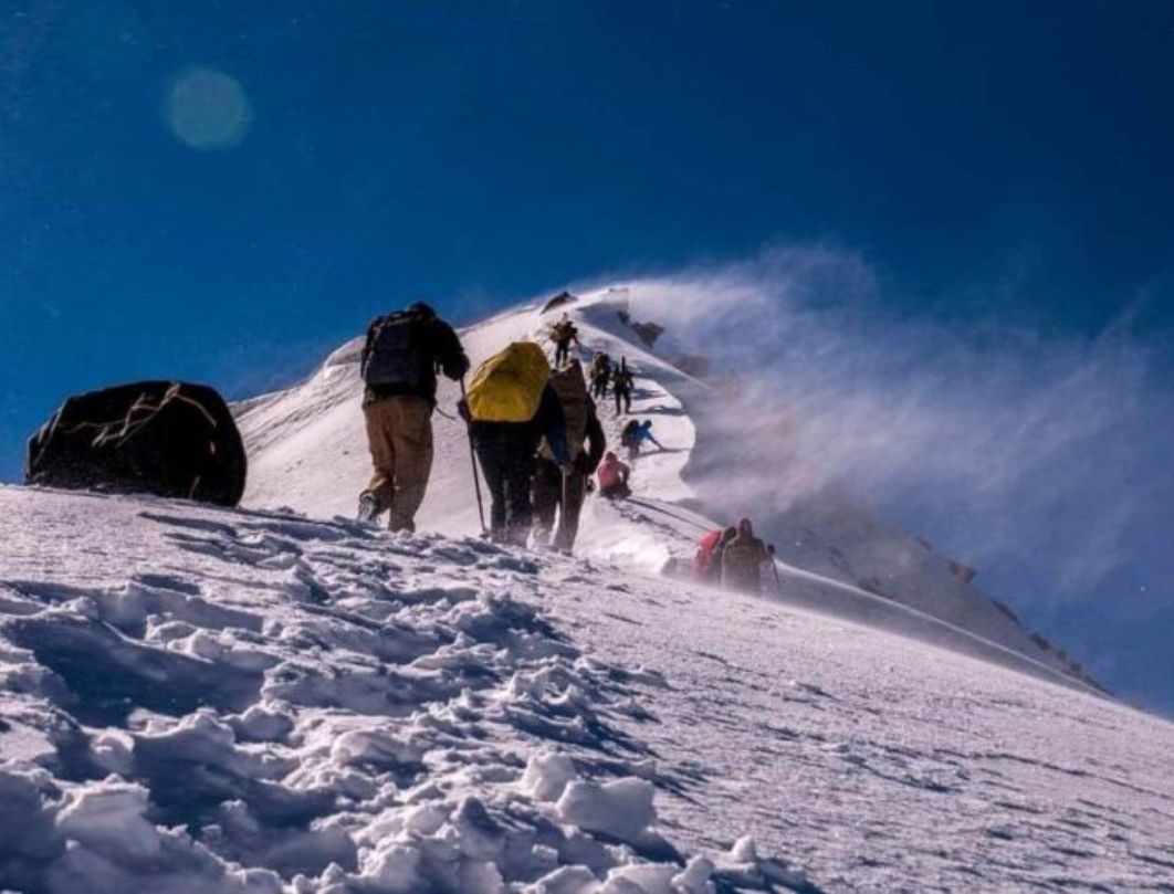
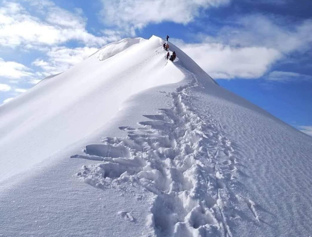
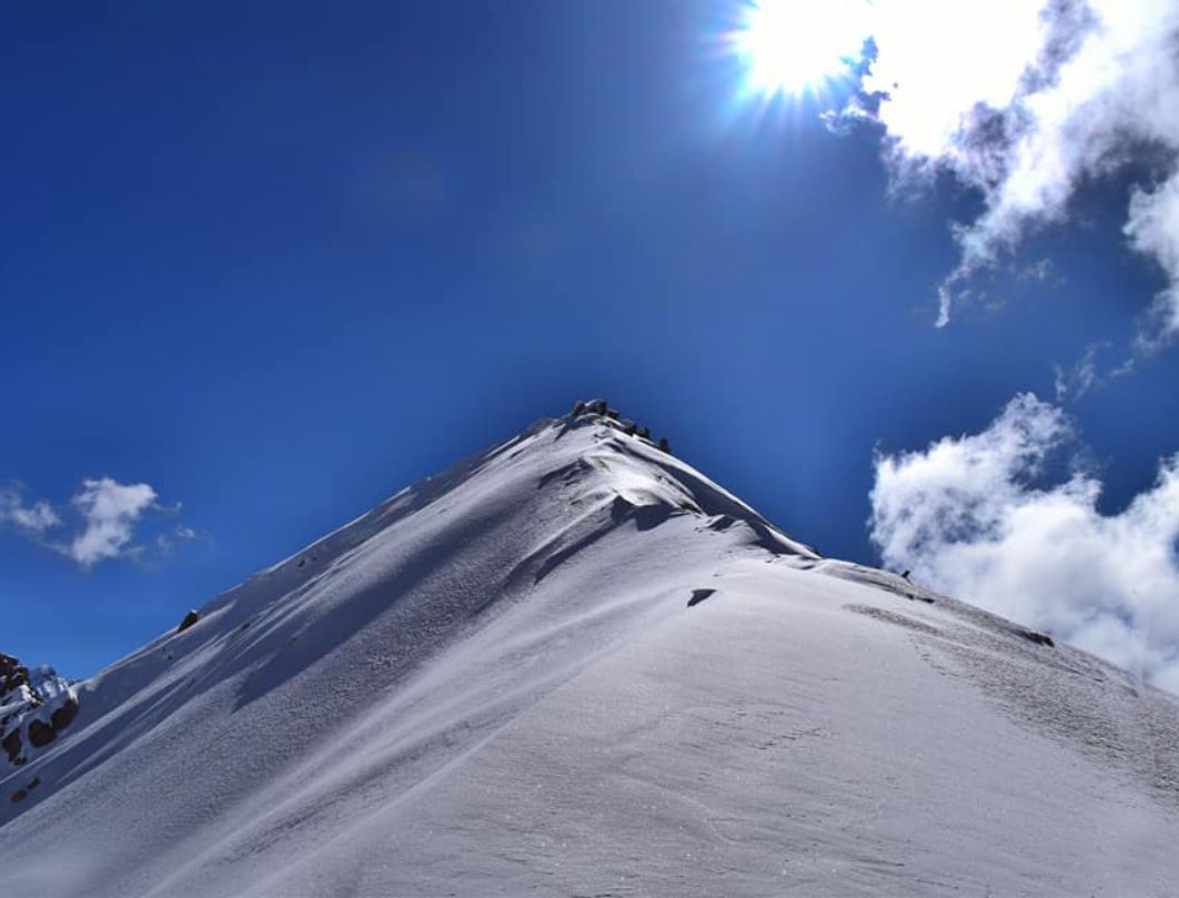
Bali Pass, situated just shy of the 5000-meter mark, serves as a vital link between the Har Ki Dun - Ruinsara Valley and Yamunotri, facilitating travel in both directions. This challenging trek traverses through a landscape adorned with heritage villages like Osla, Gangaad, and Taluka, delving deep into the serene expanse of the Govind National Park. En route, the trek treats adventurers to the mesmerizing beauty of Ruinsara Lake, alongside a cascade of picturesque waterfalls gracing the path towards the pass.

Spanning a distance of 66 kilometers from Taluka to Janki Chatti, the Bali Pass trek poses significant challenges, boasting an altitude exceeding 16,000 feet. Characterized by lengthy hiking days, steep inclines, and descents, this trek demands both physical prowess and mental resilience. For those considering a solo endeavor, it is strongly recommended to enlist the guidance of an experienced trekking companion, as navigating the trail, particularly around the pass's ascent and descent, presents inherent risks due to steep terrain and potential hazards.

What Includes in Package?

  • Accommodation
  • Meal
  • Trek Equipments
  • First Aid
  • All Necessary Permits And Entry Fees, Upto The Amount Charged For Indian Nationals
  • Any Other Service Not Mentioned
  • Additional Entry Fees Other Than Specified

Highlights of the Tour

    Base Camp Sankari
    Best Season Summer
    Airport Jolly Grant Airport
    Region Uttarakhand
    Duration 8 Days
    Grade Difficult
    Max Altitude 16200 Ft.
    Approx Trekking Km 60 Kms

Itinerary

Dehradun To Sankri

  • Altitude: 1,950m/6,400ft (Sankri)
  • 220 Km Drive - Approx 10 Hours
  • Expected Arrival Time To Sankri – 5:00 Pm.
  • Keep Original And Copy Of ID Proof Handy, Have To Show At The Forest Check Post Of Sankri.
  • Reakfast And Lunch On The Way.
  • Sankari Is The Last Road Head To The Govind Balabh Pant Wildlife Sanctuary
  • Dinner At A Guest House In Sankri (included In The Cost).
  • Stay Guesthouse (twin Or Triple Sharing).
  • Pick Up Time 06.00 Am At The Parking Of Dehradun Railway Station (not Included In The Cost).

Sankri To Seema Via TalukaAltitude: 2,600m/8,500ft (Seema) And 2,000m/6,700ft (Taluka)

  • Altitude Difference: 650m/2,100ft
  • Drive Distance (Sankri - Taluka): 12 Km, 1 Hr Approx
  • Trek Distance (Taluka - Seema ): 12 Km (7 - 8 Hrs Approx.)
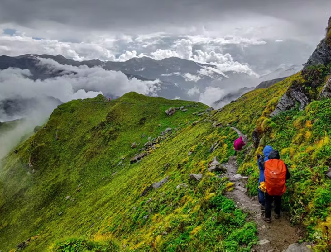
  • Gradually Ascending Trail Through Forest Cover Of Deodar, Chestnut, Bamboo, Wild Roses, And Irises. Walk Through Supin River
  • Enough Water Sources On The Way To Refill The Bottle
  • Gangad Village Is Situated Opposite Seema
  • Packed Lunch On The Way
  • Stay In Tent (Twin Sharing)

Seema To Devsu Bugyal

  • `Altitude: 3,100m/10,200ft
  • Altitude Difference: 500m/1,700ft
  • Trek: 10km, 5-6 Hours
  • Moderate To Difficult Ascent And Descent. Trek Along Ruinsara River.
  • Varying Scenery Of Meadows, Forests, And Boulder-filled Path
  • Major Attraction: Confluence Of Har Ki Dun And Ruinsara River, Views Of Black Peak (Kalanag Peak)
  • Ample Sources Of Water On The Way
  • Packed Lunch Will Be Provided
  • Stay In Tents

Devsu Bugyal To Ruinsara Tal

  • Altitude: 3,600m/11,800ft (Ruinsara Tal)
  • Altitude Difference: 500m/1,600ft
  • Mixed Trail Of Meadows And Boulders, Moderate Ascent
  • Ruinsara Lake Is Surrounded By Meadows And Rhododendron Bushes
  • Spot Waterfall On The Way
  • View From Camp Site: Yamuna Kanta (the Pass Which Takes You To Yamunotri), Banderpooch Peak, Dhumdhar Kandi Black Peak (Kala Nag) And White Peak
  • Packed Lunch Provided On The Way, Light Snacks At The Campsite
  • Major Attractions: Views Of Yamuna Kanta From Campsite And Peaks Like Dhumdhar Kandi Ranges, Kala Nag, White Peak, And Bandarpoonch
  • Stay In Tents, By The Lake

Ruinsara Tal To Odari

  • Altitude: 4,000m/13,100ft
  • Trek Distance: 4 Km ( 3- 4 Hrs Approx.)
  • Peaks Spotted: Swargarohini
  • Steep And Gradual Ascent, Cross A River By Making A Human Chain
  • Odari Means A Naturally Made Rock Cave
  • It Is Believed That Bali (Hanumans Brother) Stayed In Odari For One Night
  • Hot Lunch At Campsite
  • Stay In Tent

Odari To Bali Col Camp

  • Trek Distance: 5 Km ( 6 - 7 Hrs Approx.)
  • Steep And Technical Ascent. Walk On A Mountain Ridge
  • Carry Water From The Campsite, No Sources Of Water On The Way
  • Packed Lunch Provided At The Campsite
  • Stay In Tent

Bali Col Cmap To Lower Dhamni Via Bali Pass

  • Trek Distance: 14 Km (10 - 11 Hrs)
  • Steep Technical Ascent Till Bali Pass. From Bali Pass Technical Descent Till Halfway. Following Trek Leader’s And Guide’s Instructions As Route After The Pass Is Confusing.
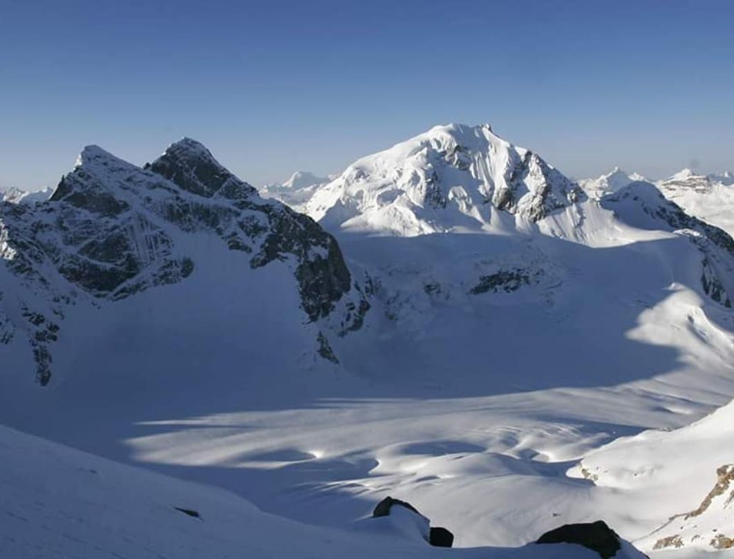
  • Summit View: Bandarpoonch, Kalanag (Black Peak), Ruinsara And Yamuntori Side, Logical Route To Saptarishikund
  • Carry Enough Water From Campsite
  • Packed Lunch On The Way
  • Stay In Tents

Lower Dhamni To Jaan Ki Chatti And Drive To Dehradun

  • Trek Distance (Lower Dhamni - Janki Chatti): 8km ( 4 - 5 Hrs)
  • An Easy And Well-defined Trail
  • Enough Water Sources On The Way
  • Lunch On The Way (not Included In The Cost)
  • Drop To Dehradun (not Included In The Cost)
  • Drive Distance (Janki Chatti - Dehradun): 170 Km, 7 Hrs Approx.
  • Driving Time To Dehradun May Increase Due To Of Heavy Traffic. Make Your Further Travel Plane From Dehradun After 8:00 Pm.

Book Your Tour

Reserve your ideal trip early for a hassle-free trip; secure comfort and convenience!

To More Inquiry
+917668532950